Where to ride in Wollongong
Are visiting the area and want to know where the locals ride? Have you just moved to the area and want to scope out the local routes? Check out a few suggestions below. Click to access the routes to then upload them to your bike head unit. If riding these courses be sure to have a camera ready – the vistas around here are pretty special.
North to the Royal National Park (.gpx and .tcx files) 86km; 1,660 vertical. Includes the iconic Sea Cliff Bridge and covers significant portions of the annual MS Sydney to Gong ride.
Keira and Lighthouse (.gpx and .tcx files) 38km; 764m vertical. A great loop to do any time.
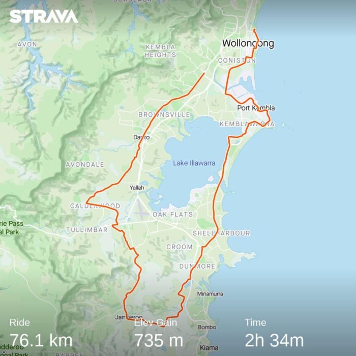
Around the Lake and through Jamberoo (.gpx and .tcx files) 78km; 771m vertical. A unique combination of coastal vistas and rural countryside. Look out for the dairy farms around Jamberoo.
A dozen steep hills (.gpx and .tcx files) 90km; 2,428m vertical. As the name suggests, this one is not for the faint hearted…
Berry and back (.gpx and .tcx files) 197km; 4,368m vertical. If you have a day to spare and the fitness to match then this is an amazing ride.